NASA producing 3D maps of Guam's reefs
NASA research scientists are here to map out Guam's coral reefs, to an unprecedented high degree of technology, using state of the art technology. The project is meant to help conserve and protect the corals that are a critical part of our ecoculture. Up

NASA research scientists are here to map out Guam's coral reefs, to an unprecedented high degree of technology, using state of the art technology. The project is meant to help conserve and protect the corals that are a critical part of our ecoculture.
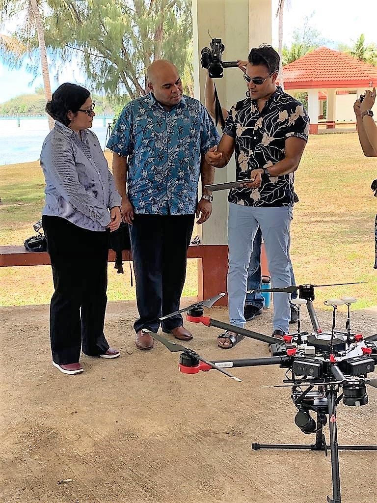
Up close, it looks like a machine straight out of a Star Wars movie, or maybe equipment that an agency like NASA would come up with. Which it did.
Meet Dr. Ved Chirayath of NASA's Lab for Advanced Sensing Earth Science Division, who invented what's called 'fluid lensing" technology.
"What it does is take very high-speed video over corals, looks at the wave action and is able to actually use waves as lenses to magnify what's under the surface and remove the distortion," Chirayath said. "So we're essentially moving the ocean away and we're getting a 3D view of the coral."
A high-resolution camera attached to a drone is used to map coral reefs from the air with an extremely high level of accuracy, sub-centimeter accuracy.

"A lot of coral reefs are dying off and they're changing their distribution," Chirayath said. "Fish colonies are collapsing. So this is one method that we can survey those coral, understand where they are, how healthy they are, and how they're changing over time."
Dr. Romina King of the University of Guam's Geography and Micronesian Culture helped win a grant for the Bureau of Statistics & Plans to fund the project.
"Coral is so important in terms of economic reasons," she said. "Several years ago there was an economic valuation study of Guam's coral reefs, and it was over $50 million that our reefs are worth to our local economy."
"But really we're talking about the rain forests of the sea," added Chirayath. "These support over 90 percent of the biodiversity in the oceans start their lives in the coral reefs, and so if we lose them we may be losing out on potential future medicines. We currently derive over a hundred different medicines from coral, and the list goes on."

 By KUAM News